COVID-19 by U.S. County: {{ mapConfigPhrase }}
-
{{ item.toLocaleString("en-us", { month: "long" }) }}
{{ item.getDate() }}
Unknown
Zero
>{{ formatDataRangeDisplayNumber(item.dataRange.min) }} to {{ formatDataRangeDisplayNumber(item.dataRange.max) }}
Exceeds {{ formatDataRangeDisplayNumber(maxColorRangeDataValue) }}
Page Info, Data Sources, Components, and Feedback
{{ displayDateString }}
{{ item.placeName }} (population {{ item.population }})
| Absolute | {{ infoCardPopulationScale }} | Per Case | ||||
|---|---|---|---|---|---|---|
| CASES | to-date total | {{ formatInfoCardDisplayNumber(item.casesAbsolute, true, null) }} | {{ formatInfoCardDisplayNumber(item.casesByPopulation, false, 4) }} | - | ||
| {{ growthRangeDays }}-day change | {{ formatInfoCardDisplayNumber(item.casesAbsoluteChange, true, null) }} | ({{ formatInfoCardDisplayNumber(item.casesChangePercentage, false, 3) }} %) | {{ formatInfoCardDisplayNumber(item.casesByPopulationChange, false, 4) }} | - | ||
| DEATHS | to-date total | {{ formatInfoCardDisplayNumber(item.deathsAbsolute, true, null) }} | {{ formatInfoCardDisplayNumber(item.deathsByPopulation, false, 4) }} | {{ formatInfoCardDisplayNumber(item.deathsPerCase, false, 4) }} | ||
| {{ growthRangeDays }}-day change | {{ formatInfoCardDisplayNumber(item.deathsAbsoluteChange, true, null) }} | ({{ formatInfoCardDisplayNumber(item.deathsChangePercentage, false, 3) }}%) | {{ formatInfoCardDisplayNumber(item.deathsByPopulationChange, false, 4) }} | {{ formatInfoCardDisplayNumber(item.deathsPerCaseChange, false, 4) }} | ({{ formatInfoCardDisplayNumber(item.deathsPerCaseChangePercentage, false, 4) }} %) | |
[No data for this county]
Click the report title to change the data view.
Double-click any county on the map to track its data here.
Click the play button below the map or drag the slider to move across the date range from beginning to end.
Animated Report Configuration
Basic Fact to Report:
Measurement Scales and Ranges
Population density scale: Per
Persons
Range for calculating change over time:
Measurement:
Value to Display:
| over the preceding {{ formattedGrowthRangeDays }} | |
{{ item }}
This Site
X
Updates and General Information
- 2020-05-01: This site is now live. All displays are now as accurate as the underlying source data, to the best of my knowledge. Please note that the source data is always being revised, since public health officials often do revisit earlier tallies when new information or errors are discovered. This site therefore displays trends, with as much accuracy as possible, but should not be treated as definitive or as having high precision.
Data Sources
-
Daily case and death reports by county:
Case and death data is assembled from a public data set built by the New York Times and housed here:
https://github.com/nytimes/covid-19-data
- That project is presently tracking county-level data based on the date deaths were publicly reported by the relevant government agency. A minority of counties are not represented in this data set. In many cases this may be because there are no cases in those counties over the entire timespan to the present day. However, since this application cannot guarantee that is the case, counties without any data at all are visually represented on the map (with the color designating "unknown") so they can be distinguished from counties reporting zero cases or deaths. It also should be noted that some cases and deaths in this data set are assigned to no county and therefore are not mapped here at all.
- All five counties which make up New York City are combined in the data set, and so they are treated as combined by this visualization as well. Each county can be individually viewed, but all five show the same (combined) population, case counts, and death numbers.
- Case and fatality data is used under this license.
- County population data: Population data is derived from U.S. Census 2019 population estimates, as recorded in this file: Population, Population Change, and Estimated Components of Population Change: April 1, 2010 to July 1, 2019 (CO-EST2019-alldata), which is found on this Census Bureau data page: County Population Totals: 2010-2019
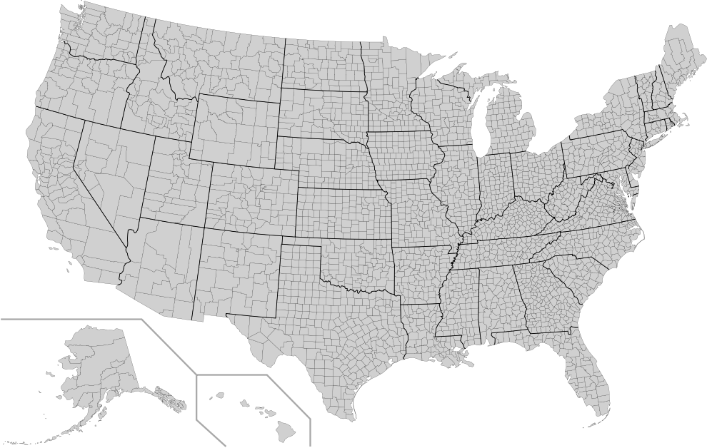
- USA Counties Map: https://commons.wikimedia.org/wiki/File:Usa_counties_large.svg (License: public domain)
Components Used
Browser Application
- MVVM Framework: Vue.js (License: MIT)
- JavaScript Animation: Concert.js (License: MIT)
Data Pre-processing
- Build and data processing: Grunt (License: MIT)
- Data import: Papa Parse (License: MIT)
Project
- It is to be hoped that this tool, having many options for customized visualizations, will be found useful. Various improvements are already planned. Bug reports or suggestions for improvements are welcome at the project's GitHub page or by email at code@trajanmcgill.com.
- Apologies to the people of Puerto Rico and other U.S. non-state areas for not yet having you on here. I hope to include your data soon-- some additional areas are already represented in the NYT data set but not on the public domain map I was able to find quickly and put to use in this project.
- This project was built by Trajan McGill. Thanks to those who are counting and tracking and building the data on which this data visualization relies. My condolences and prayers to everyone whose lives are a part of the numbers and colors on this web site. Everyone who isn't yet, please stay safe.
{{ waitMessage }}